CropMap / Cases / Soybean growers in Kazakhstan
Seed & input sales · Kazakhstan

YES!AGRO: finding soybean growers in Kazakhstan, field by field

Anton Shilenko, head of YES!AGRO, came to us with a simple question: which farms in Kazakhstan actually grow soybean? We mapped 4,232 soybean fields across six regions and turned them into a live map of districts and growing clusters that his sales team can work from.

October 15, 2026 · Reading time · 5 minutes
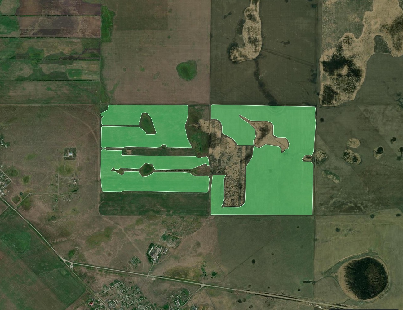
Large soybean fields highlighted in green over satellite imagery in Kostanay Region, Kazakhstan; lakes inside the fields are left out
79.9 k ha
soybean mapped
4,232
soybean fields
114
clusters ≥ 100 ha
6
regions
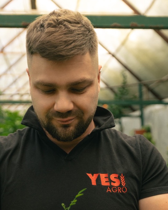
Anton Shilenko, head of YES!AGRO, holding a seedling in a greenhouse
Client
Anton Shilenko
Head of YES!AGRO · soybean seed, Kazakhstan
@yes.agro.kz

The question

YES!AGRO sells soybean seed in Kazakhstan. Soybean is a niche crop there: about 0.1 million hectares in a country with more than 20 million hectares of cropland. The growers are hard to find.

The ask was to show where the soybean fields are, so the sales team could plan visits district by district instead of calling around.

What we did

01
Start from fields

We start from our own field boundaries for Kazakhstan: 3.1 million fields mapped from satellite imagery.

02
Recognise the crop

Our models identify the crop on every field from satellite imagery over the whole season.

03
Check every field

Each field passes automated quality checks. Anything doubtful is dropped, not guessed.

04
Checked against data

Results are checked against our own dataset of fields with known crops and against official statistics. Regional totals never exceed the reported soybean area.

Whole fields, not pixels

Soybean is shown as whole fields, the unit a sales rep actually visits, with the area and district of each one.
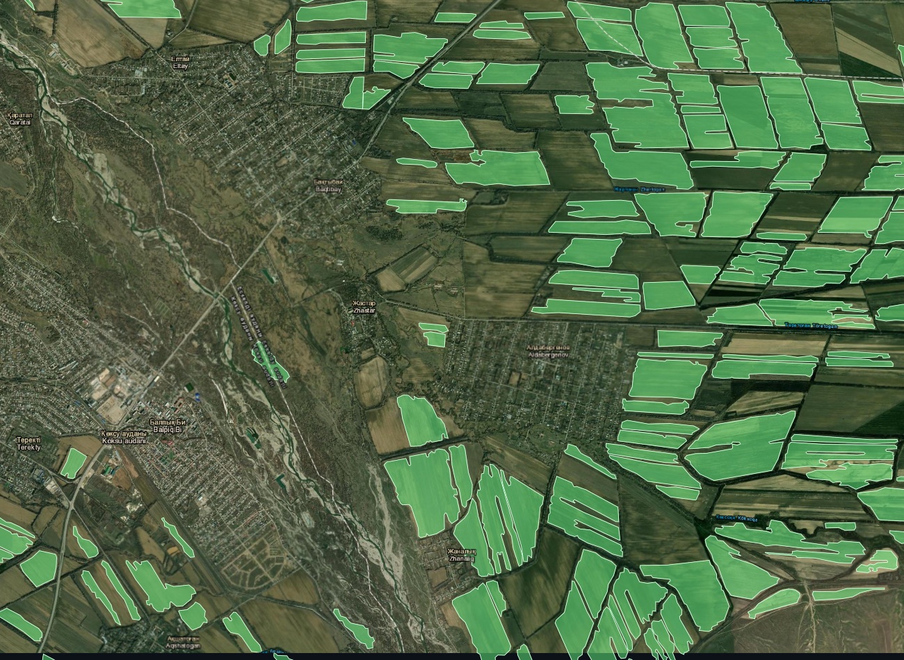
Soybean fields highlighted in green around Aldabergenov, Koksu District, Jetisu Region
Koksu District, Jetisu Region: soybean fields around Aldabergenov. Imagery © Esri, Maxar, Earthstar Geographics.

Two very different markets

Once the fields were on the map, the soybean market in Kazakhstan split into two clear parts.

RegionOn the map,
k ha
Official,
k ha
FieldsAvg field,
ha
Jetisu58.668.43,55516
Kostanay8.910.281110
Almaty8.514.250617
East Kazakhstan1.41.32848
Akmola1.31.21398
Abai1.21.24925
Total79.996.54,23219

Official: harvested soybean area reported by Kazakhstan's Bureau of National Statistics.

We grouped neighbouring fields into growing clusters: 689 in total, 114 of them larger than 100 ha. Each cluster comes with its district and centre point, ready to be turned into a route.

How we checked it

What we left out

In North Kazakhstan, the map did not pass our check against soybean fields we already knew about. We kept that region off the map until we have local ground truth. A sales map is only useful if a rep can trust every field on it.

What YES!AGRO gets

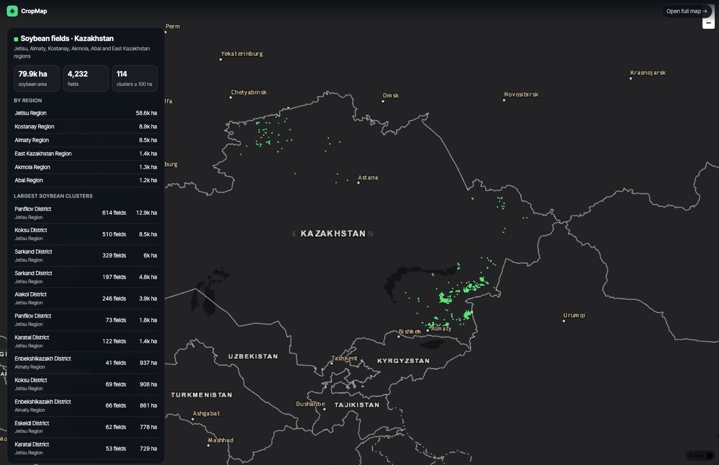
The live soybean map of Kazakhstan with totals by region and the largest clusters
The live map: totals by region and the largest soybean clusters, with every field one click away.

What comes next

Every field the sales team visits and confirms feeds back into the map. Confirmed soybean fields make it sharper and will let North Kazakhstan join it.

The same approach works for any crop that statistics only report by region:

Looking for growers of a specific crop?

Tell us the crop and the region. We'll send a free sample of field-level data.