CropMap / Cases
Cases
How teams use field-level crop maps: to find growers, size sales territories, follow the season before official numbers and check what grows on each field.
Seed & input sales · Kazakhstan
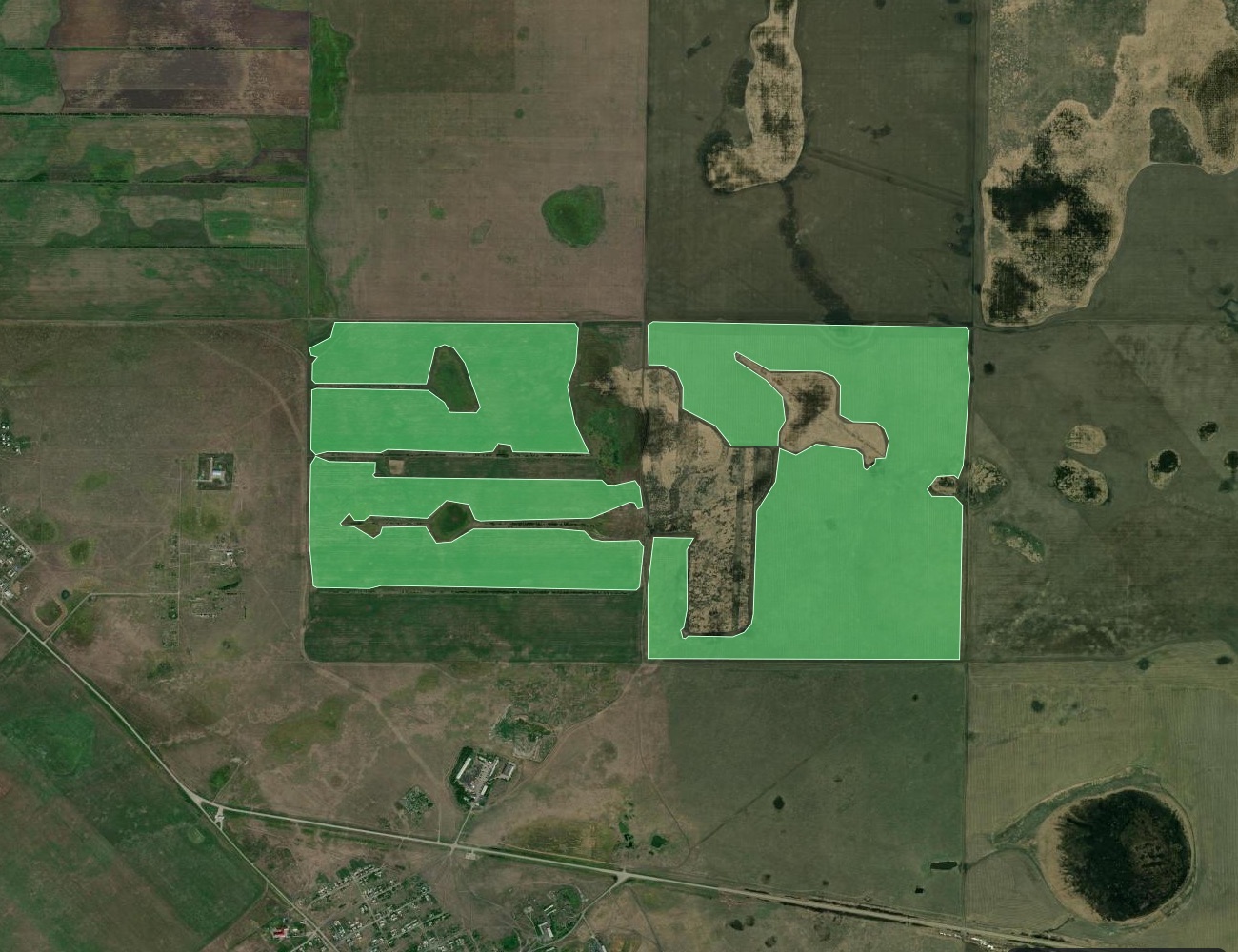
YES!AGRO: finding soybean growers in Kazakhstan, field by field
A field-level soybean map for the YES!AGRO sales team: districts, growing clusters and a live map.
79.9 k ha4,232 fields6 regionsEN · RU · ҚАЗ
Accuracy check · Poland
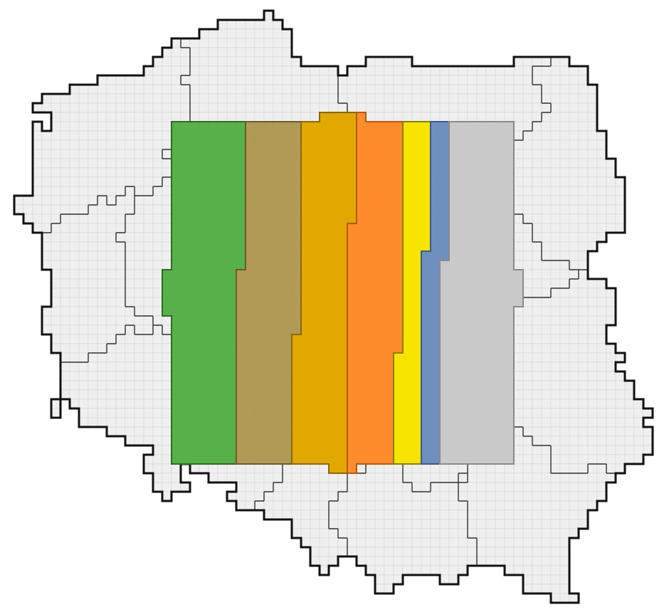
Poland: what the satellite sees vs what farmers declare
Our satellite crop map checked against farmer declarations on 52,161 random fields, plus what Poland grows this season.
74% of fields87% main cropsEN · PL
Market intelligence · Belarus
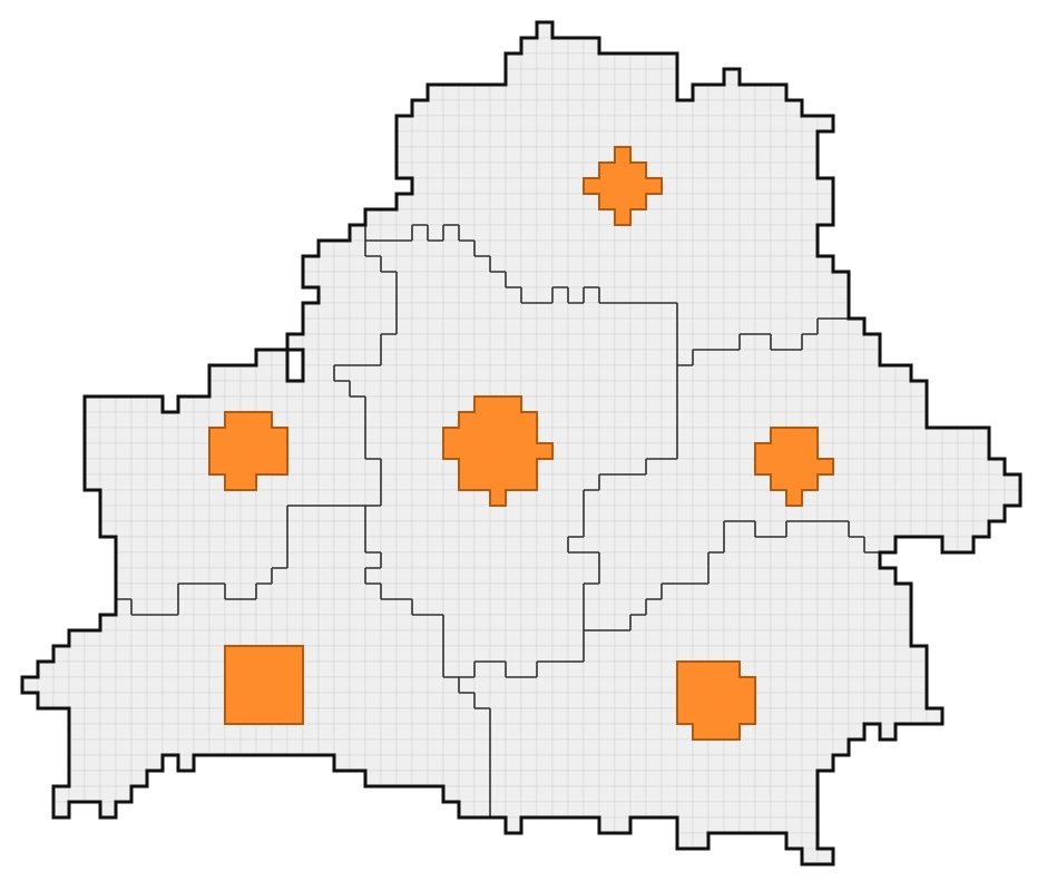
Belarus mid-season: every field, every crop, before the official numbers
249,343 fields mapped in the middle of the season and compared with official figures, region by region.
5.3 M hamaize ±1%EN · RU · БЕЛ
Have a crop and a region in mind?
Tell us what you are looking for. We'll send a free sample of field-level data.